Sale Price:
$285.00
Original Price:
$350.00
S.T.E.A.M. Adventure: Grades 4–6
Week 6: July 20 – July 24 | 9 AM – 2 PM
The Wild West: The Frontier Survey
The Crisis: The maps of the Great Expansion are blank, and the infrastructure connecting the coasts is failing! Without precise surveying and geological engineering, the frontier will remain an impassable wilderness.
The Fix:
Science & Engineering: Master Civil Engineering by designing suspension and truss bridges that can span wide "canyons." Study Geology and Mineralogy to identify load-bearing soil types and conduct "core sample" simulations to find stable foundations for the expanding railroad.
Art: Explore Cartography as Art. Students will learn the techniques of 19th-century mapmakers, using tea-staining, topographical shading, and hand-lettered calligraphy. They will also study Landscape Realism, focusing on how to capture vast depth and atmospheric perspective found in the American West.
Math & Literacy: Practice Triangulation and Surveying Math to measure distances across "rivers" without crossing them. Write "Expedition Logs" that combine scientific observation with persuasive writing to convince the "government" to fund further exploration.
Mission Goal: Apply geological science and structural engineering to bridge the continental divide!
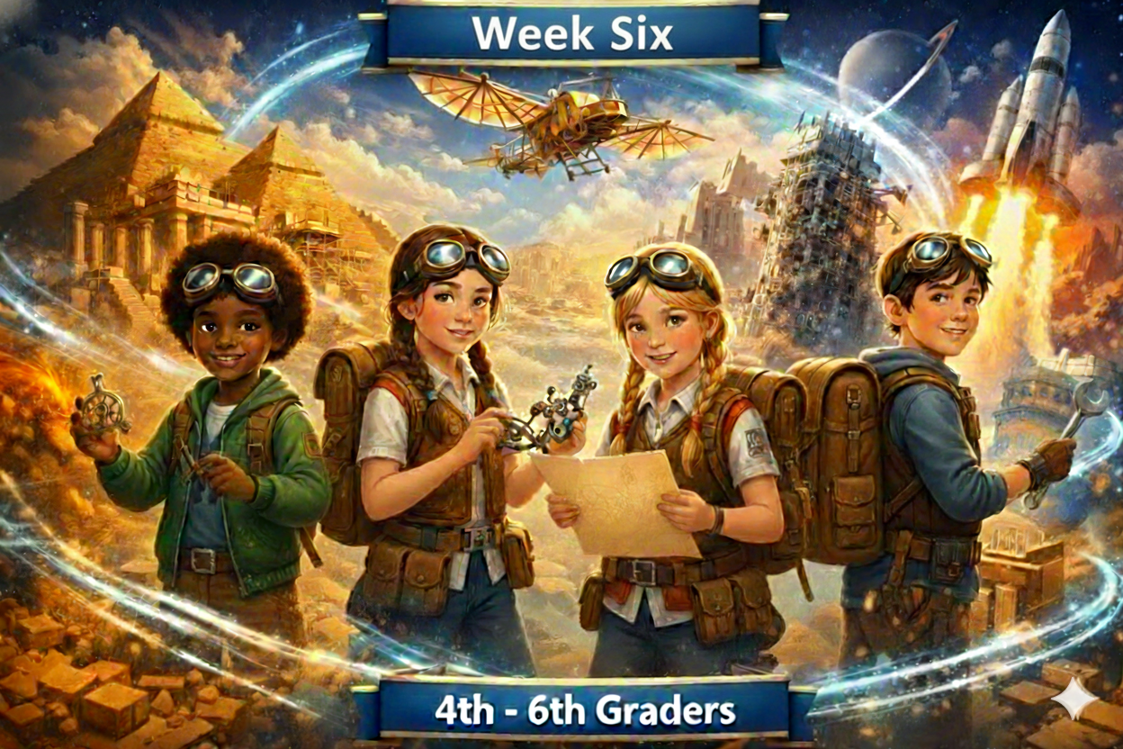 Image 1 of 1